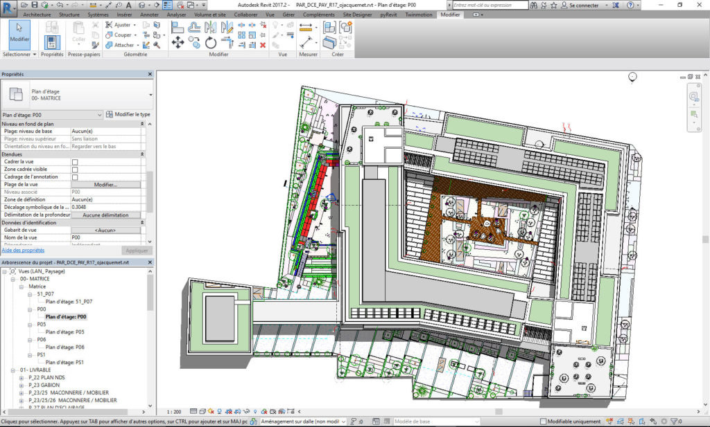
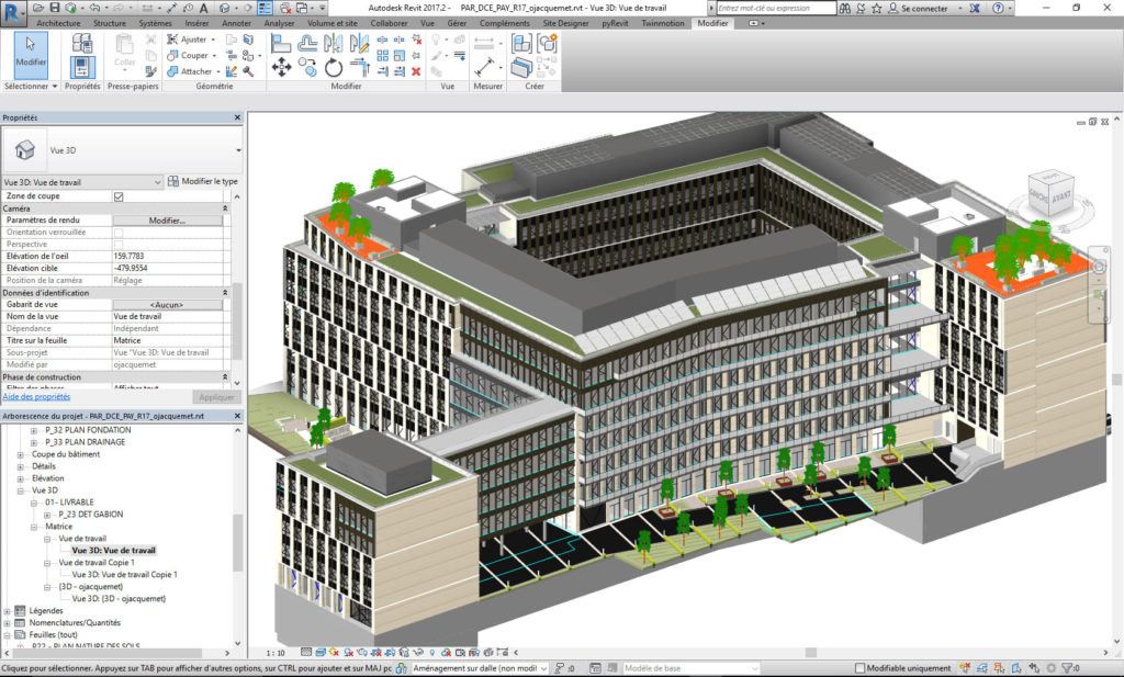
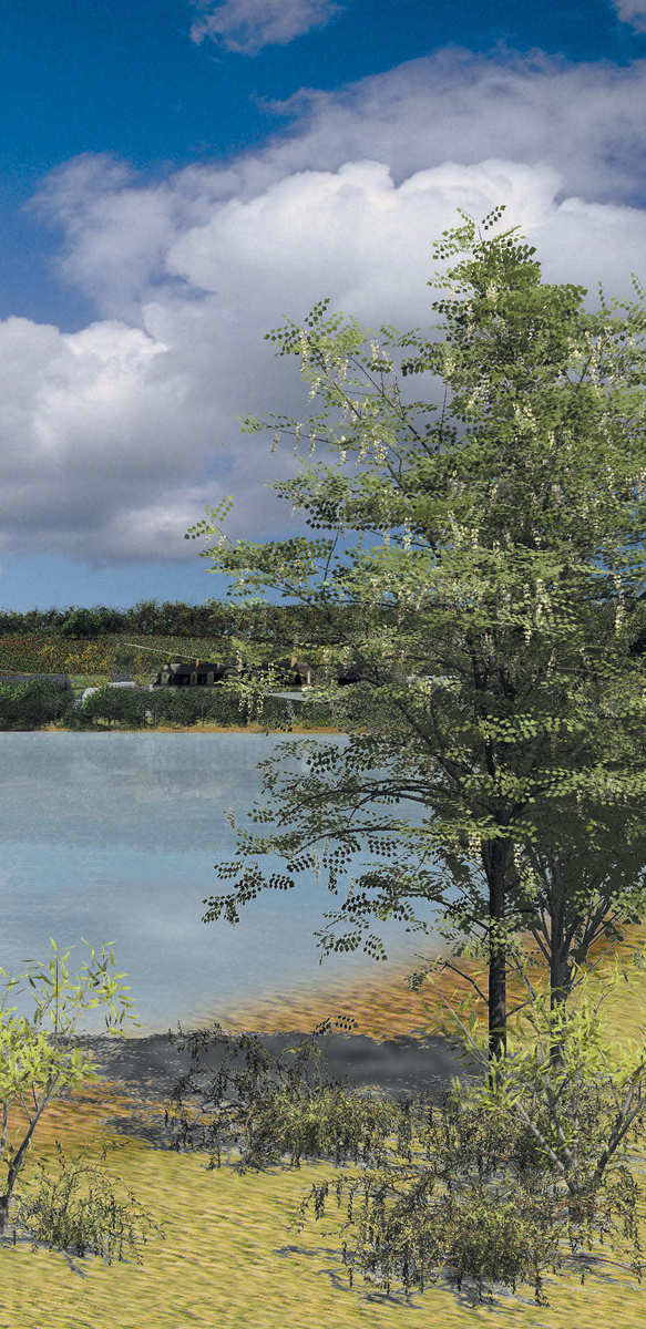
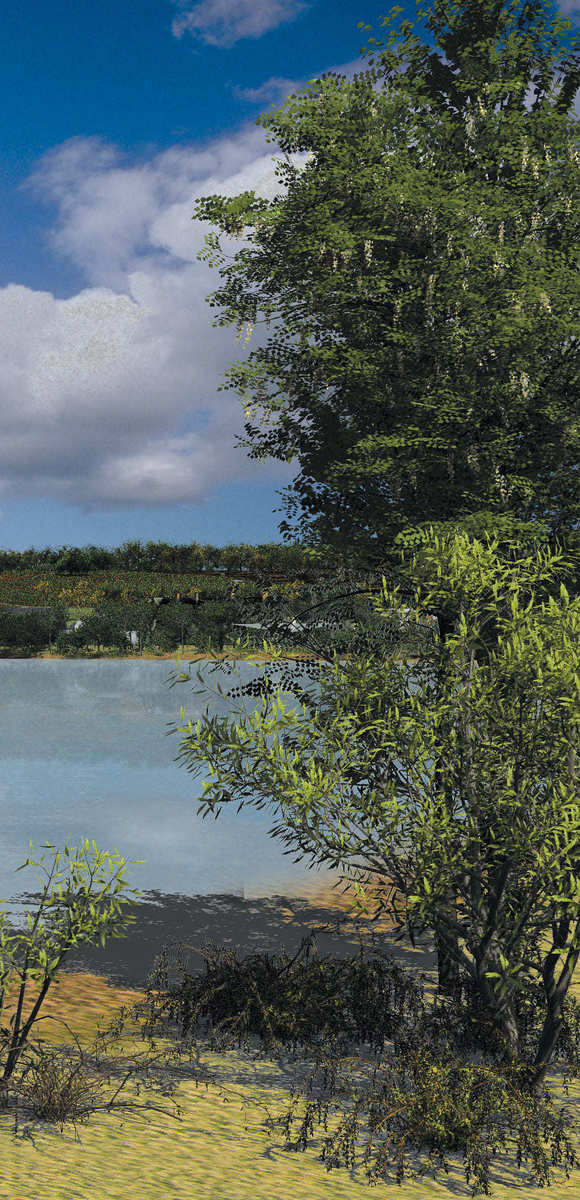
At the forefront of the tools developed over the years around the “digital city”, Land’Act takes up the challenge of the BIM and in 2016 invents the LIM® : Landscape Information Modeling !
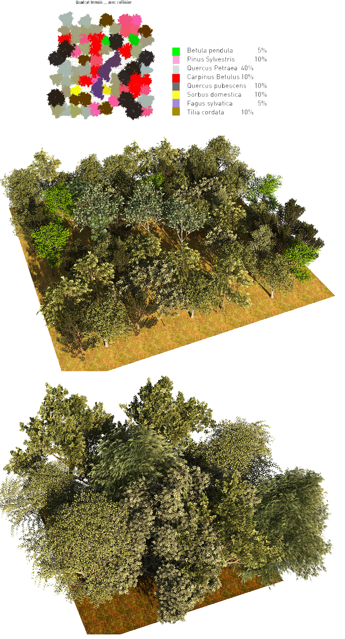
First field of landscape application of BIM, the LIM® allows the user to access metadata of trees (root systems, water requirements, growth calendar, evolution over time …), from the conception to the implementation. Designed to fill a gap in BIM tools for outdoor spaces, the LIM® is already actively used in several Land’Act projects such as: Arsenal eco-district in Rueil-Malmaison, the Parallèle office building in Courbevoie, the CESI (university complex) of Rouen and many other projects…


